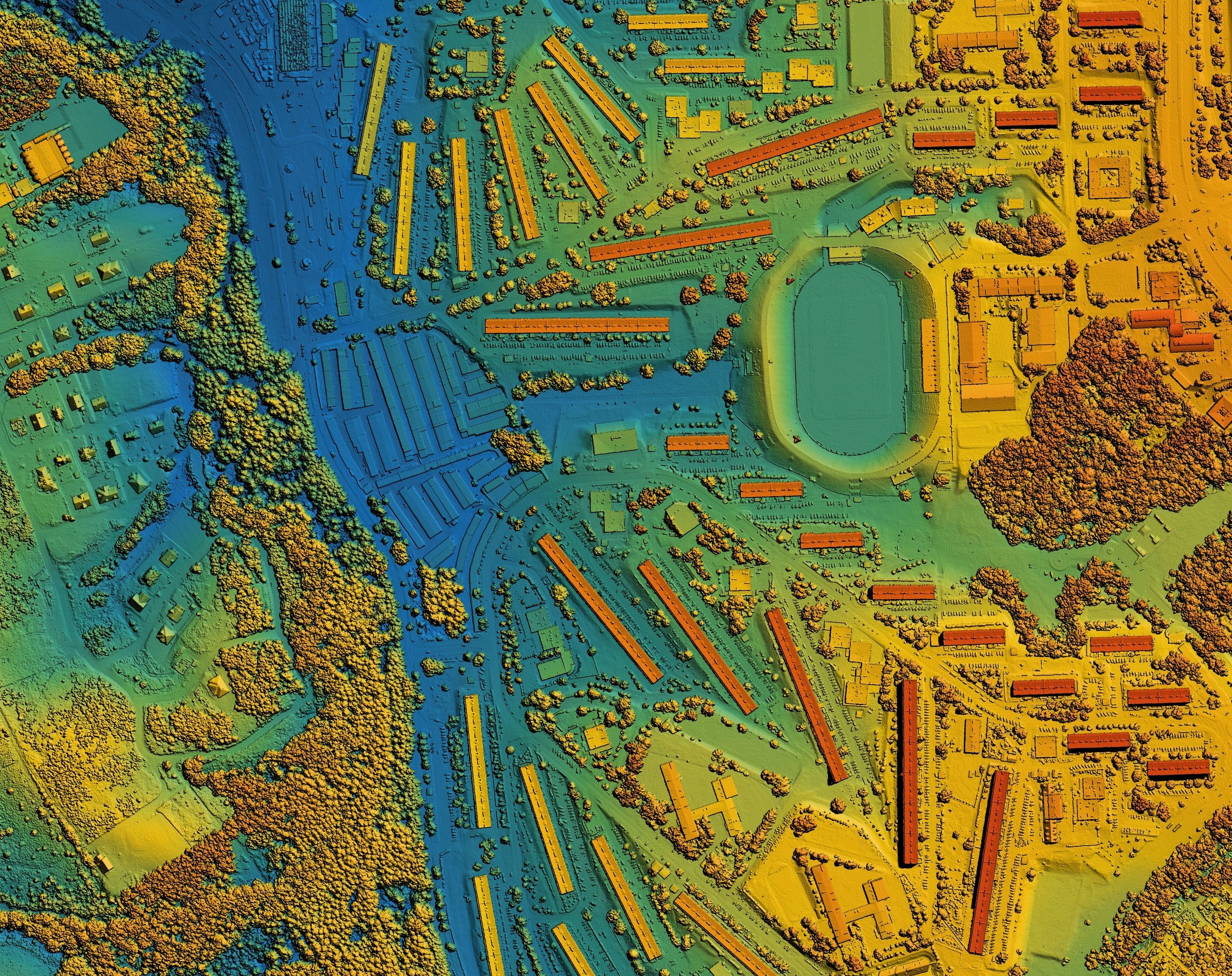
LiDAR Scanning & 3D Mapping
LiDAR Scanning and 3D Mapping: Transforming Spatial Data Collection
At TECOLS, we specialize in LiDAR (Light Detection and Ranging) scanning and 3D mapping, delivering precise, high-resolution spatial data to support industries that require accurate terrain modeling, infrastructure assessment, and digital twin creation. The millions of data points collected form a dense point cloud, a highly detailed digital representation of objects and landscapes. Our expertise ensures that this data is transformed into actionable insights, helping clients optimize planning, development, and decision-making processes.
Architecture, Engineering, and Construction (AEC)
LiDAR technology has become an essential tool in the AEC sector, aiding in construction tracking, structural assessments, and integration with Building Information Modeling (BIM). We generate high-precision digital twins of buildings, roadways, and infrastructure, allowing architects and engineers to assess as-built conditions, detect deviations from design plans, and enhance project planning. Railways, highways, and urban developments benefit from our LiDAR-driven solutions, ensuring accurate data for both new construction and maintenance projects.
Terrain and Land Surveying
Our LiDAR services provide Digital Terrain Models (DTM) and Digital Elevation Models (DEM), offering precise topographic insights for land development, flood risk assessment, and large-scale earthworks. The ability to capture elevation changes and landform details makes this technology invaluable for urban expansion, hydrological studies, and natural resource management.
Real Estate and Facility Management
For property development and facility assessments, we use LiDAR to convert 3D point cloud data into highly accurate 2D floor plans. This process supports property valuation, space planning, and renovation projects, enabling architects and investors to make informed decisions based on precise measurements and spatial analysis.
Environmental and Climate Monitoring
LiDAR is a powerful tool for environmental conservation and disaster management. We use laser scanning technology to map flood-prone areas, track coastal erosion, measure carbon stocks in forests, and analyze changes in terrain over time. This data helps agencies and organizations make proactive decisions about conservation efforts, land rehabilitation, and climate impact mitigation.
Mining and Underground Exploration
Our LiDAR solutions assist in mine mapping, tunnel scanning, and stability monitoring, providing accurate 3D models of underground environments. By continuously analyzing rock faces, excavation sites, and safety conditions, we help mining operators reduce risks, improve efficiency, and enhance overall site management.
Expanding Possibilities with Advanced LiDAR Solutions
As technology evolves, we continue to enhance our LiDAR capabilities to support a growing range of applications. Compact, high-resolution sensors, combined with AI-driven data processing, are pushing the boundaries of automation and real-time spatial analysis. These advancements allow us to provide cutting-edge solutions for smart city development, robotics, and infrastructure monitoring.
